Mapping
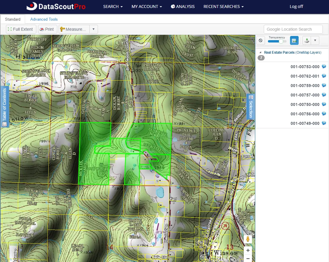
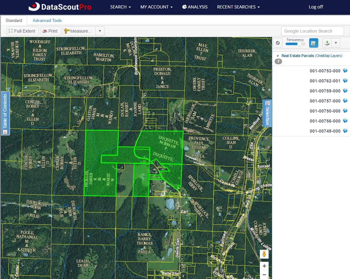
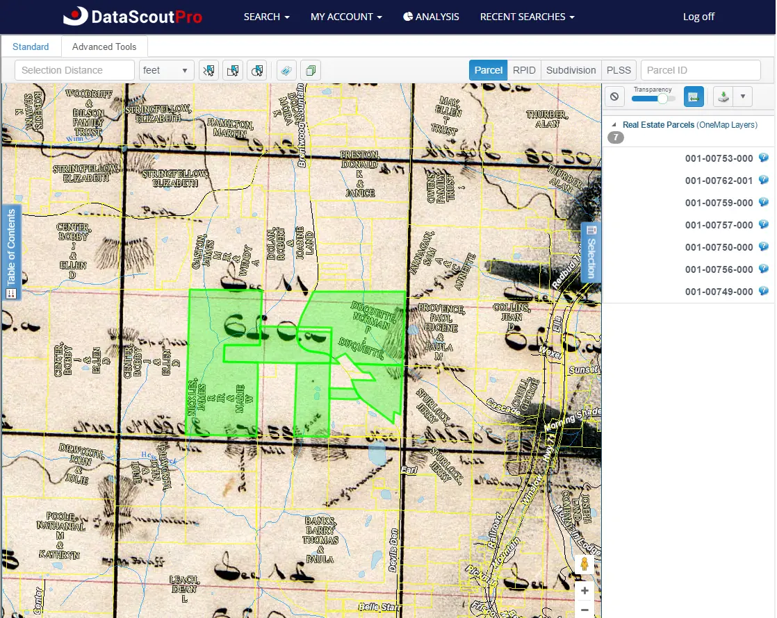
DataScoutPro introduces the DataScoutPro OneMap viewer, a web-based function integrated with County GIS parcel boundaries, various layers, measuring tools, locating feature, printing, and more. These combined with a point-and-click application allows users to visualize real property data.
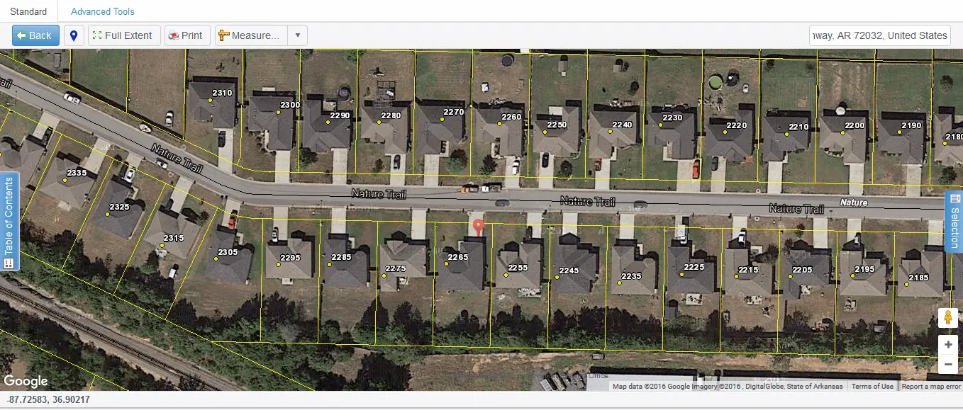

Map Viewer

Table of Contents - Basemaps
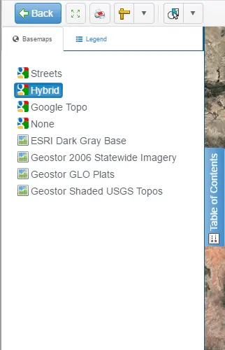
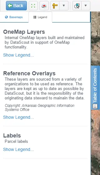
Table of Contents - Legend
Mapping Tools

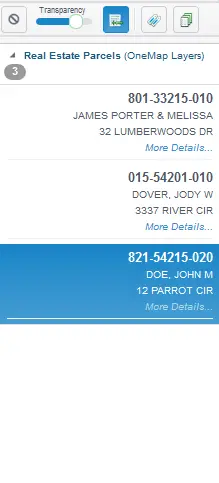
Select Tab - Parcel List
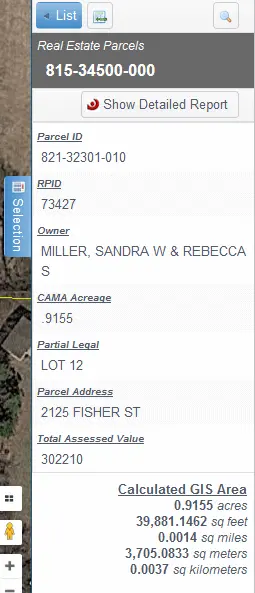
Selection Tab - Parcel Information
Bulk Data
DataScoutPro now offers Bulk Data exporting. The new Bulk Data Export feature provides access to Arkansas and Oklahoma county or full state real property data files. Whether you’re looking for customizable datasets, full-county data, or the entire state, we have something that fits your needs. Click here for pricing information!
For Full-Service Bulk Data services, please contact (501) 539-4375.
Results
Results will display in a snap-shot view with a free preview in Excel format before purchase. You can also remove duplicate addresses to cut down on results. Results feature all available data from the county assessor's data:
Download ExampleBulk Data Cart Selection

Bulk Data Custom Search
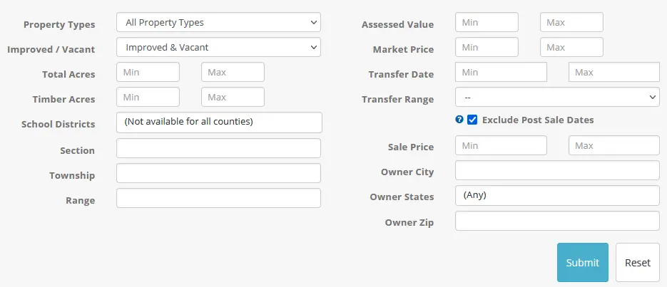
Bulk Data Custom Download

