Mapping
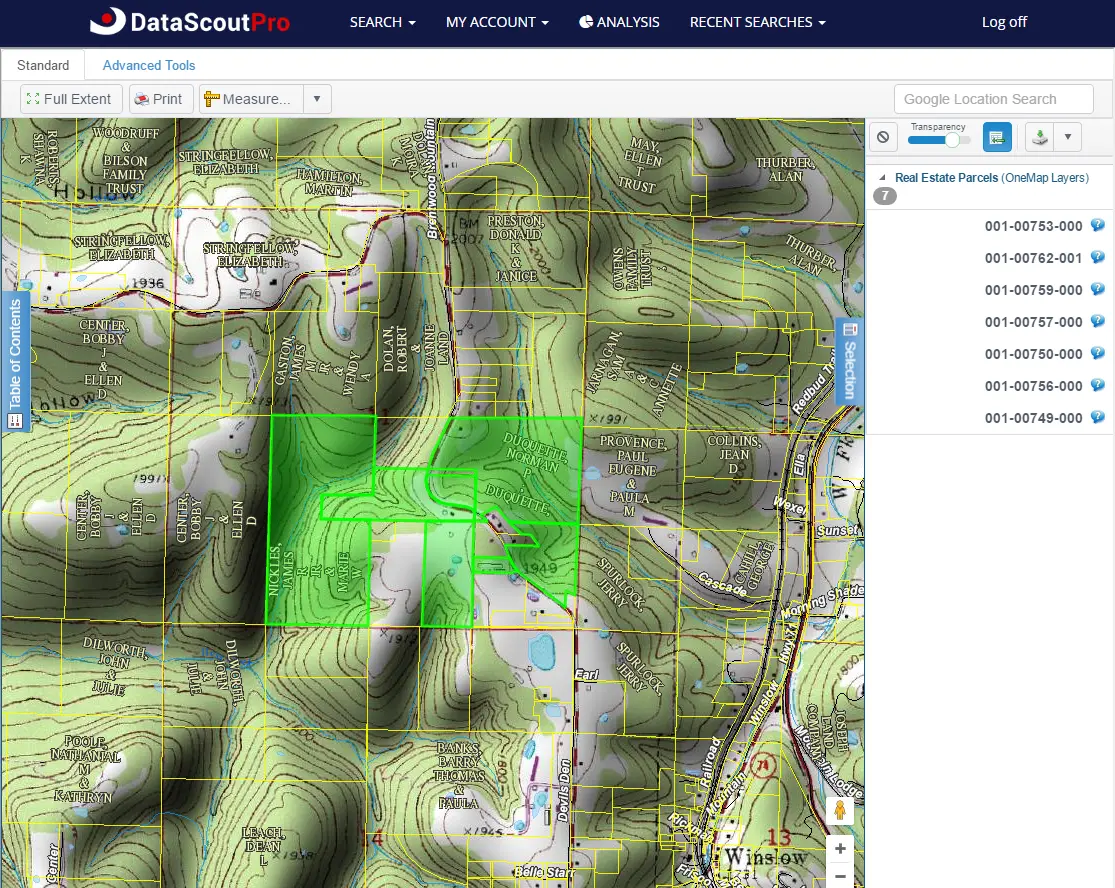
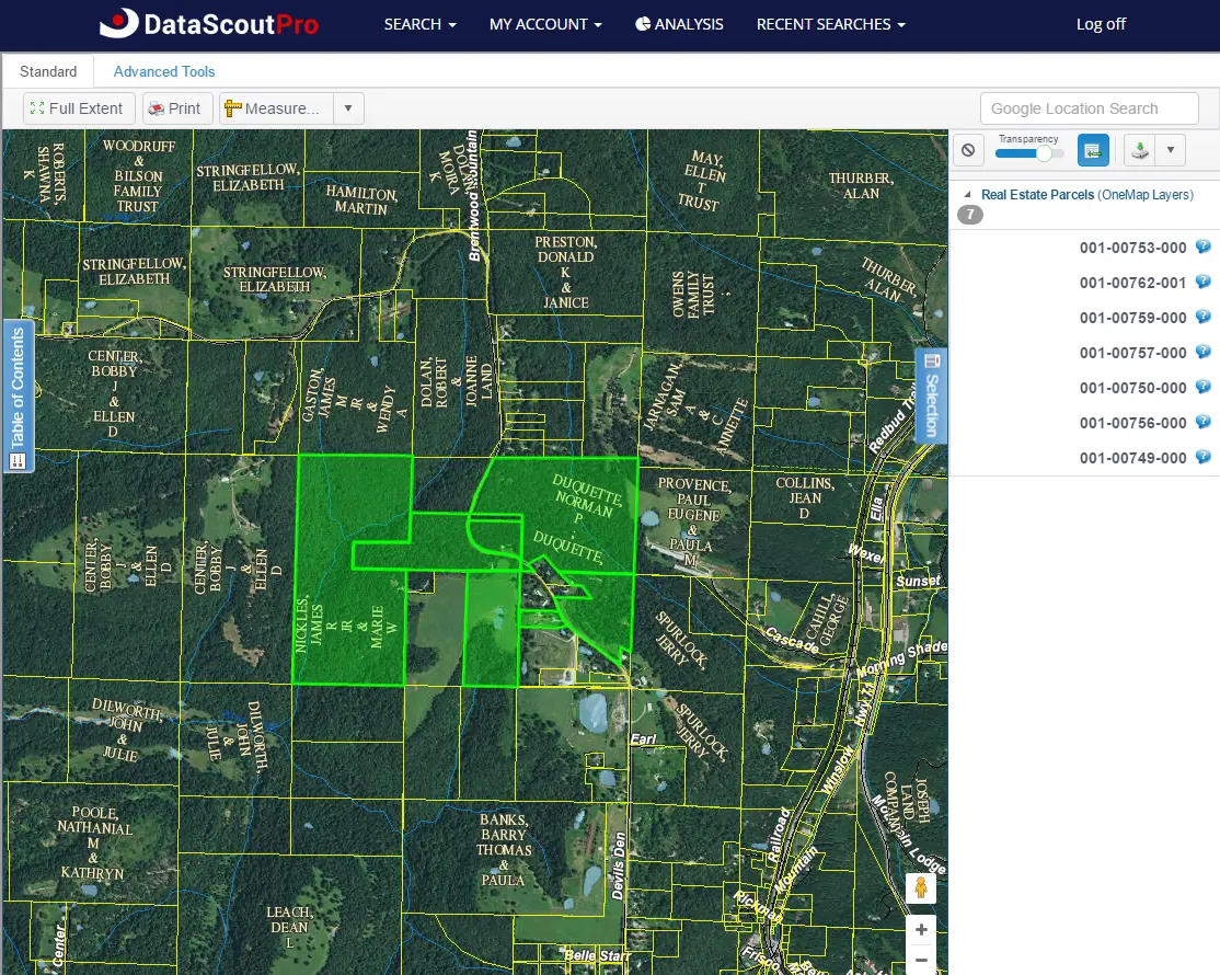
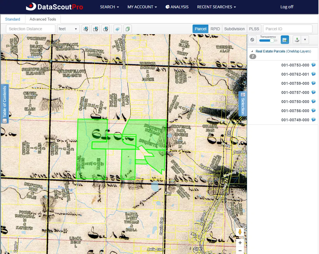
DataScoutPro introduces the DataScoutPro OneMap viewer, a web-based function integrated with County GIS parcel boundaries, various layers, measuring tools, locating feature, printing, and more. These combined with a point-and-click application allows users to visualize real property data.
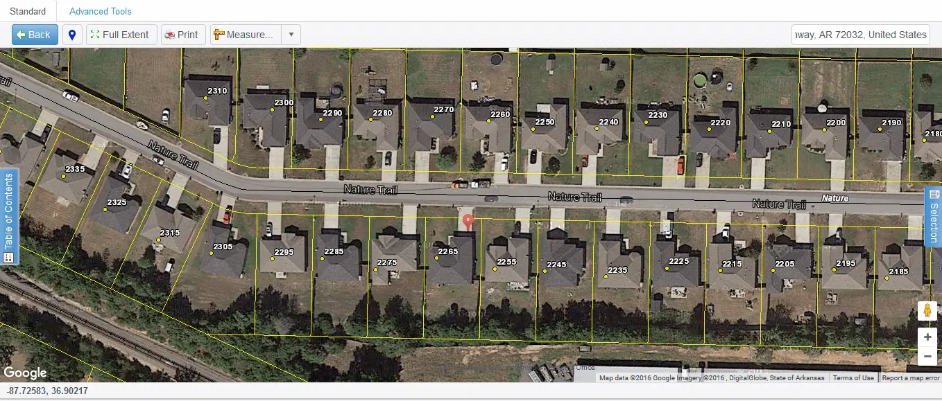

Map Viewer

Table of Contents - Basemaps
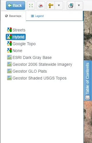
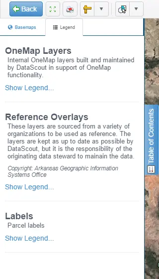
Table of Contents - Legend
Mapping Tools

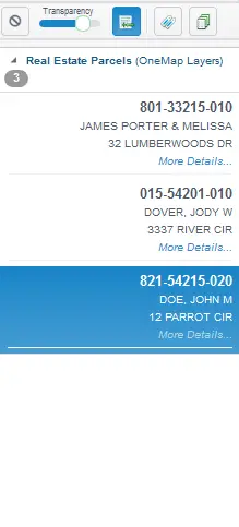
Select Tab - Parcel List
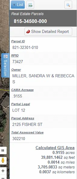
Selection Tab - Parcel Information
Real Property
Real property data features the county land records for all 75 Arkansas counties and all 77 counties of Oklahoma.
Search
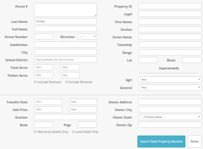
Utilize the real property search page to perform searches stemming from a name or address search, homes in a particular school district, or properties sold in a selected timeframe. Find more complex details by selecting a unique property type with improvements, such as a pool, garage, and more. Further, obtain the records of tax-exempt properties like churches, schools, and government-owned property.
Results
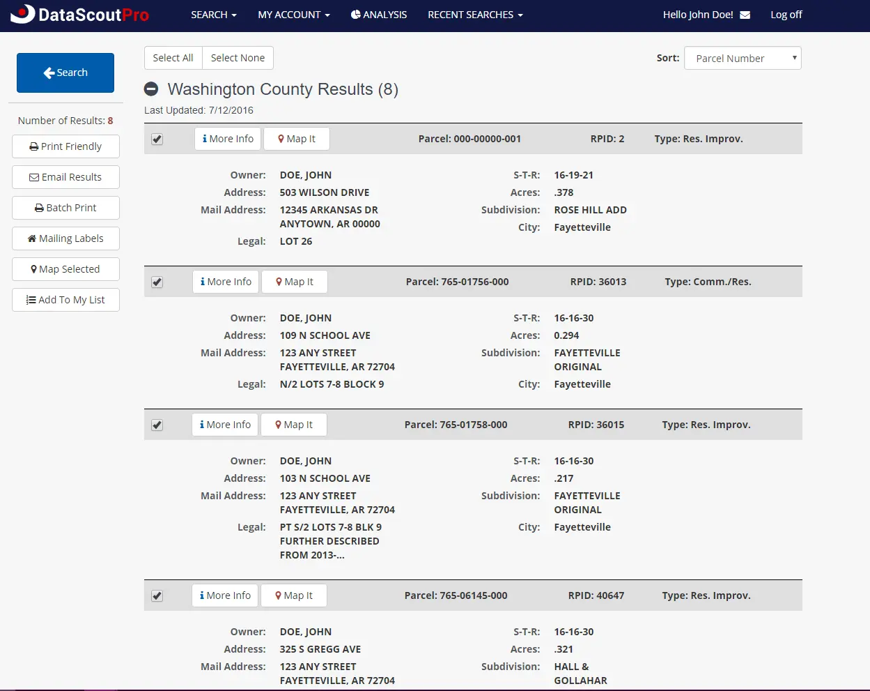
View a list of properties produced from a search. Take this list and perform several actions including sorting by owner, subdivision, and parcel number; print all or desired property details, and send via email. Also, create mailing labels from the owner mailing address on each property and map the selected results to visualize where the properties lie. Lastly, save the results list to My List to view at a later time.

Reports
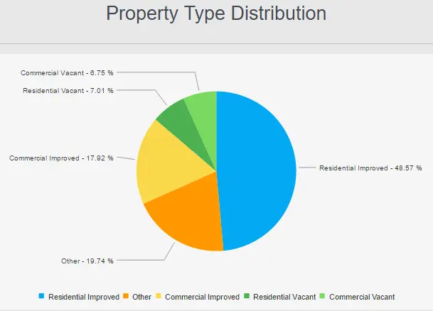
DataScoutPro features four ways to interpret data fitting a distinct search criteria represented in easy-to-read charts, graphs and results. Click the links to below for more details.

Parcel Information
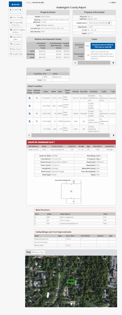
Selecting a specific parcel on the result page will reveal the full property card. This card features ownership and property information, market and assessed values, taxes, land use, ownership transfers, structure information, outbuilding and yard improvements, and an aerial view of the parcel.

Real Property Search
Real Property Results

Real Property Parcel Card

Real Property Report Example

