Mapping
DataScoutPro introduces the DataScoutPro OneMap viewer, a web-based function integrated with County GIS parcel boundaries, various layers, measuring tools, locating feature, printing, and more. These combined with a point-and-click application allows users to visualize real property data.
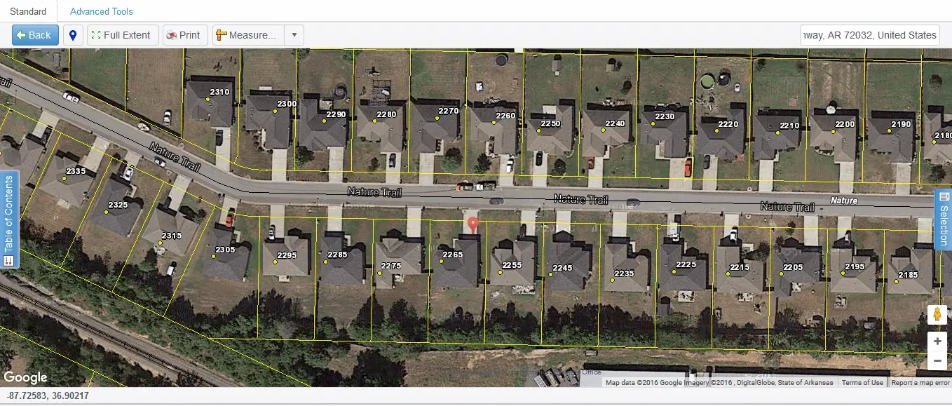

Map Viewer

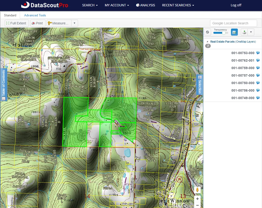
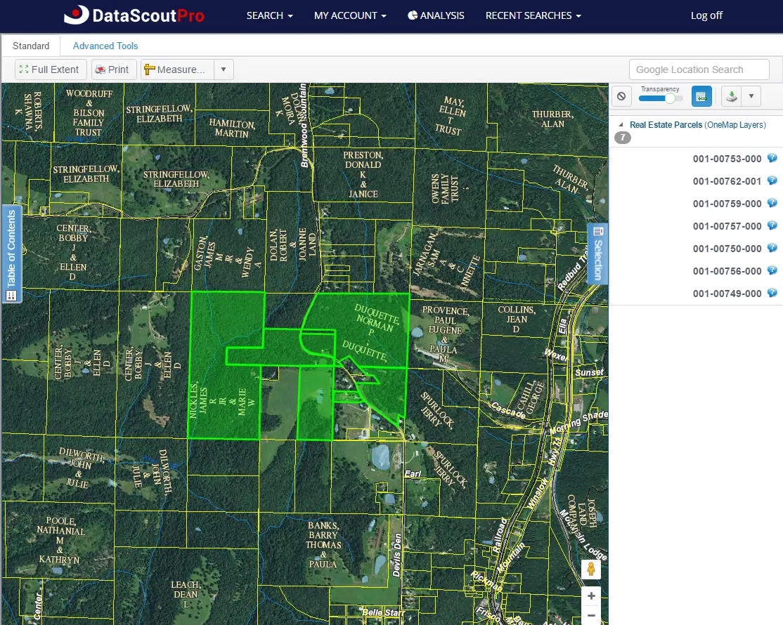
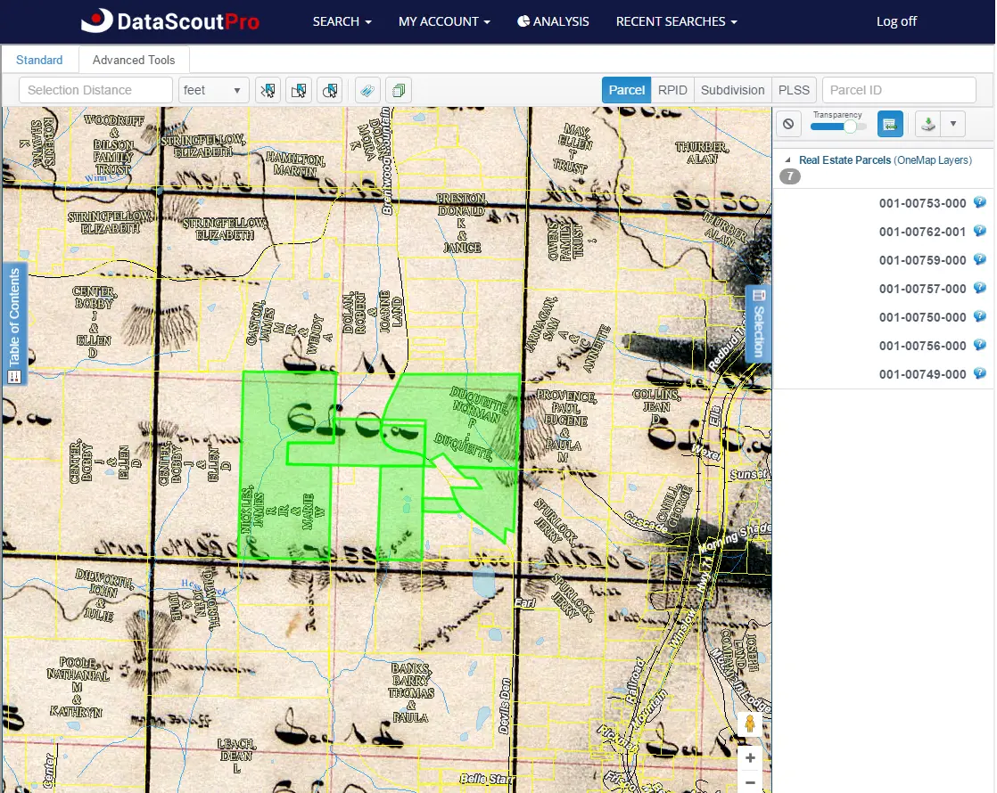
Table of Contents - Basemaps
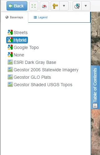
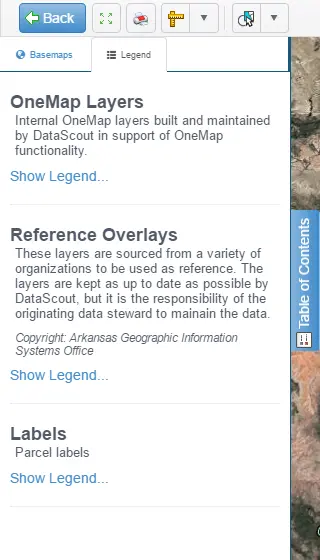
Table of Contents - Legend
Mapping Tools

Select Tab - Parcel List
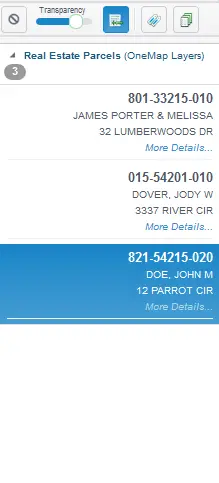
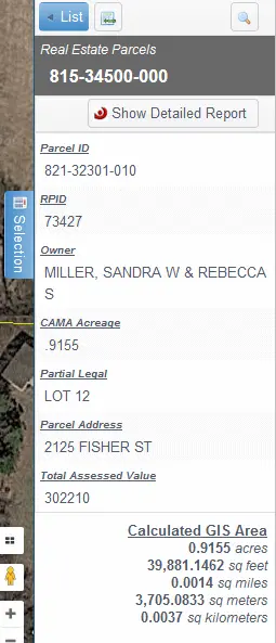
Selection Tab - Parcel Information
Mapping
DataScoutPro introduces the DataScoutPro OneMap viewer, a web-based function integrated with County GIS parcel boundaries, various layers, measuring tools, locating feature, printing, and more. These combined with a point-and-click application allows users to visualize real property data.


Map Viewer

Table of Contents - Basemaps

Table of Contents - Legend

Mapping Tools

Select Tab - Parcel List

Selection Tab - Parcel Information

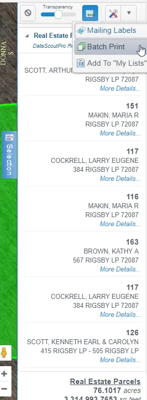
Selection Tab - Batch Printing
